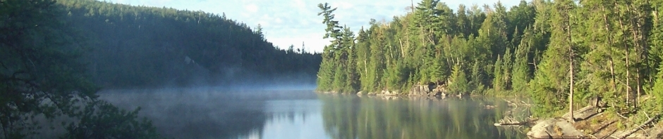
It has been a while since I’ve posted any fun, canoe-related content. So I created a set of Google Earth KML maps of the BWCAW. I was inspired to post the map set after I saw the UMN Borchert Map Library post a link to an interactive BWCAW map. Canoeists, enjoy.
Boundary Waters Canoe Area Wilderness (BWCAW)
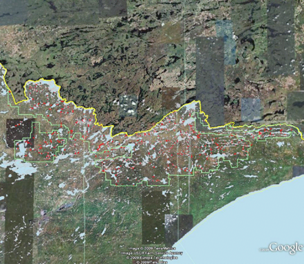
Source of geographic information: Superior National Forest GIS downloads (SHP files created by USFS June 2006)
Source of functions for converting from SHP to KML: maptools and rgdal